
My 2025 conference season kicked off in late March at the National Planning Conference (NPC) in Denver, Colorado. While most of the conferences I attended that year were squarely in the transportation engineering world, NPC brought a different audience to the table — city planners, regional planning organizations, and community development professionals who think about transportation as one piece of a much bigger puzzle.
That shift in perspective turned out to be one of the most valuable experiences of the year.
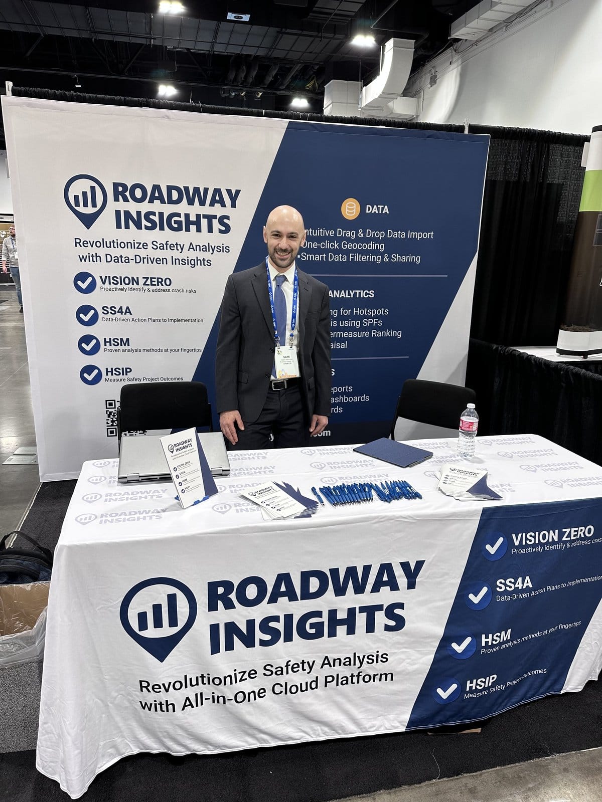
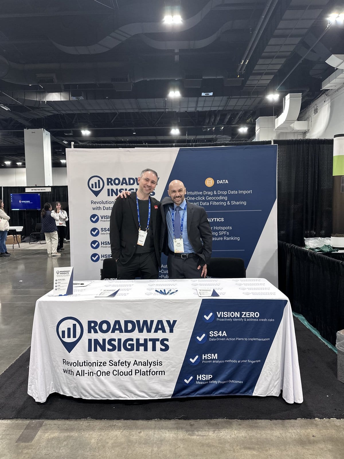
Our booth at NPC Denver — connecting with planners who see safety through a different lens.
Why a Safety Company at a Planning Conference?
It’s a fair question. Roadway Insights is a transportation safety platform. Our users are typically traffic engineers, safety analysts, and DOT program managers. So what were we doing at a planning conference?
The answer is simple: the line between planning and safety is disappearing.
The Safe Streets for All (SS4A) program made this explicit — grant applications require comprehensive safety action plans that integrate land use, equity, community engagement, and data-driven analysis. Planners are now expected to understand crash data. Safety analysts are expected to think about community context. The disciplines are converging, and the tools need to converge with them.
What Planners Talk About That Engineers Don’t
Spending three days with planners rather than engineers gave me a fresh vocabulary for the same problems:
Equity Is Central, Not an Add-On
At engineering conferences, equity analysis is often presented as a supplementary step — “here’s your HIN, and here’s how it overlaps with disadvantaged communities.” At NPC, equity was the starting point. Which communities bear the highest burden of traffic violence? How do infrastructure decisions perpetuate or reduce those inequities? This frame challenges us to build analysis tools that put equity front and center rather than tucking it into a secondary dashboard.
Community Voice Shapes Priorities
Planners are trained in public engagement. They understand that crash data alone doesn’t tell the full story — residents know which intersections feel dangerous, which corridors discourage walking, which school zones need attention. The best safety plans combine quantitative crash analysis with qualitative community input. Our platform handles the data side, but these conversations pushed us to think about how we make our outputs more accessible to non-technical audiences.
The Long Game
Engineers often work in 3-5 year project cycles. Planners think in decades. Comprehensive plans, transportation master plans, and capital improvement programs set the stage for which safety projects are even possible. Getting safety data into these long-range planning documents means projects get funded years before they would through reactive approaches.
Denver as a Case Study
Denver itself was a living example of the planning-safety convergence. The city has been implementing Vision Zero since 2017, and the results are visible in the built environment — protected bike lanes downtown, pedestrian crossing improvements, speed management on arterials.
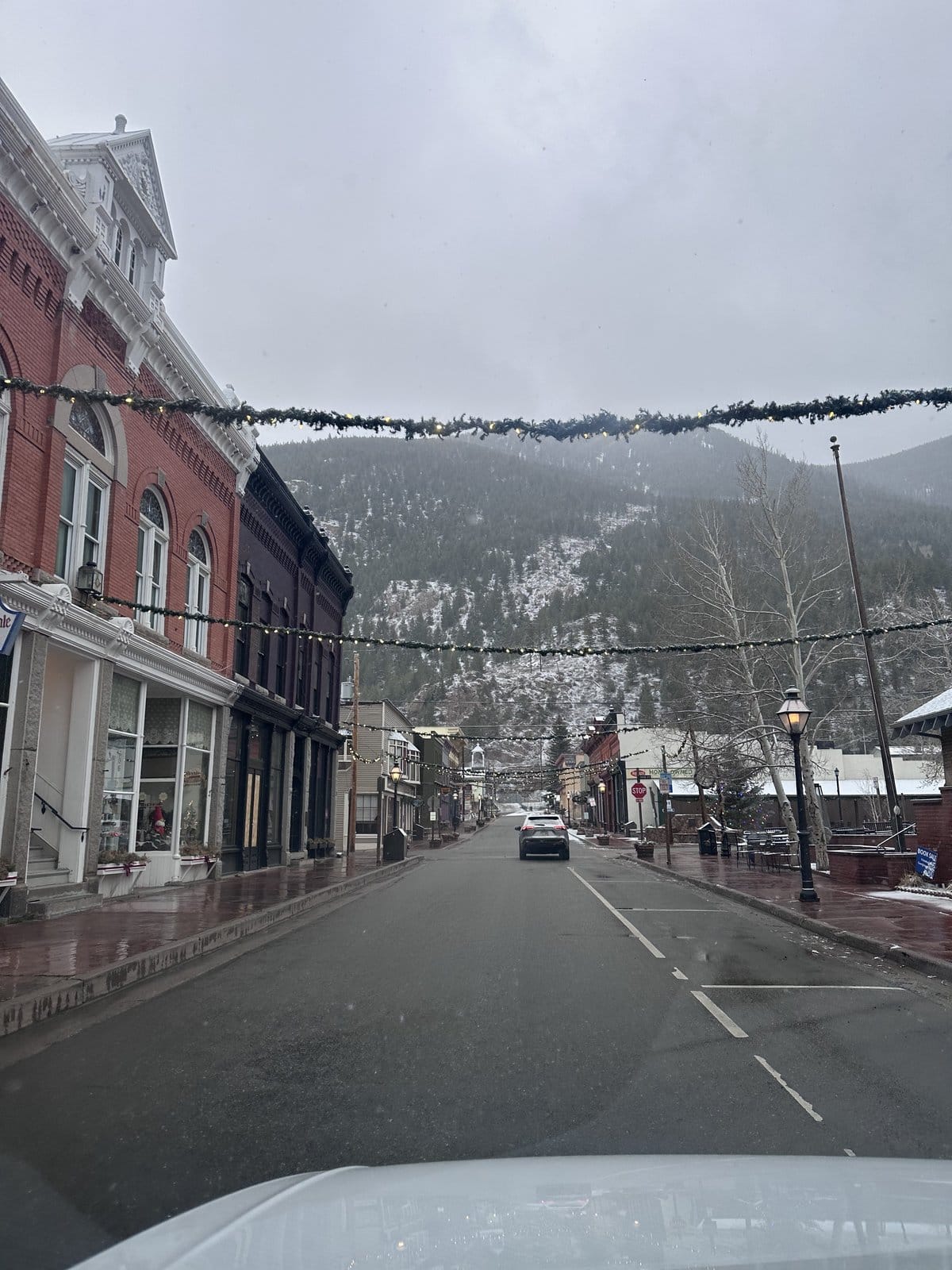
Denver in early spring — the city’s Vision Zero investments were visible throughout downtown.
Walking the streets between sessions, I could see the infrastructure changes that come from good planning: narrowed lanes, bulb-outs at intersections, transit-oriented development that reduces car dependence. These aren’t just engineering solutions — they’re planning decisions backed by data.
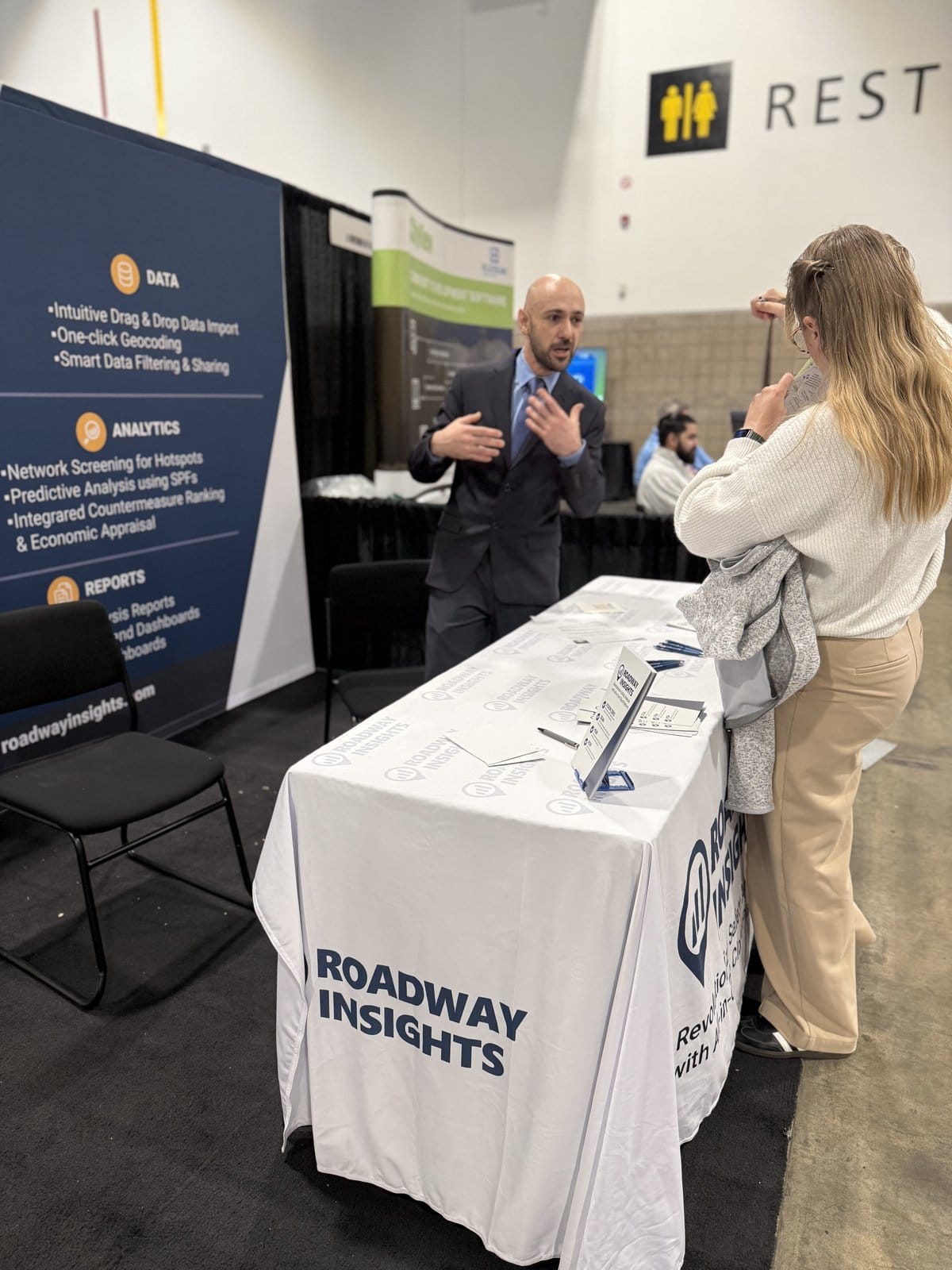
The Booth Conversations
The most valuable part of any conference is the one-on-one conversations at the booth. At NPC, these were different from what I hear at ITE or ATSIP:
- “We just got an SS4A grant — now what?” Several small MPOs had secured planning grants but weren’t sure how to approach the data analysis portion of their safety action plans.
- “Can this help us with our comprehensive plan?” Planners wanted to embed safety analysis into broader planning documents, not produce standalone safety reports.
- “Our council wants a map.” Elected officials and planning commissions respond to visual evidence. The ability to produce compelling, understandable safety maps is not a nice-to-have — it’s how you move from analysis to action.
Every conversation at the booth shaped how we think about making safety data accessible to planners.
What Changed After Denver
NPC directly influenced several decisions we made in 2025:
- Simplified map exports — We prioritized making our HIN and crash maps easy to export and embed in planning documents, not just engineering reports.
- Plain-language summaries — Analysis results now include narrative descriptions alongside the numbers, making them accessible to planning commissions and elected officials.
- SS4A workflow integration — We built specific tools to help agencies progress from data analysis to action plan narratives, directly responding to what we heard from MPOs at NPC.
The planning community taught me that building safer roads isn’t just an engineering challenge — it’s a community challenge. And the tools we build need to reflect that.